Probabilistic Heavy Snow and Icing Discussion
NWS Weather Prediction Center College Park MD
231 PM EDT Sun Apr 27 2025
Valid 00Z Mon Apr 28 2025 - 00Z Thurs May 1 2025
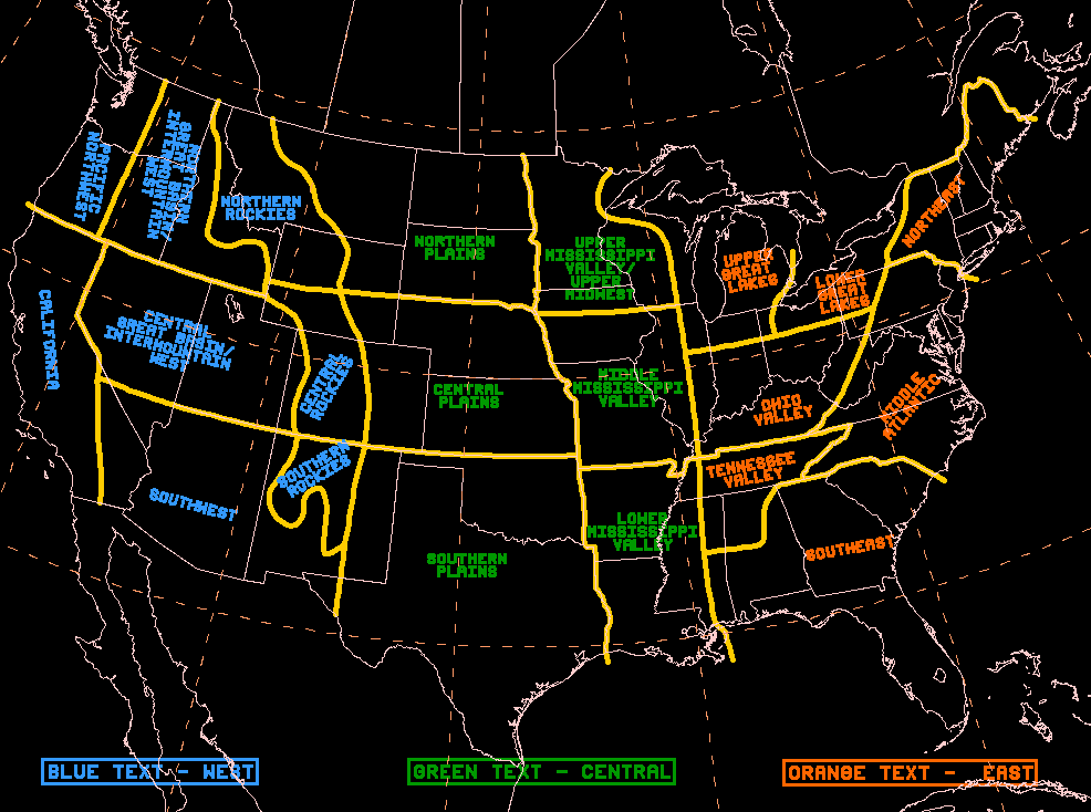
...Great Basin and Northern Rockies...
Days 1-2...
An upper low traversing the Great Basin today will be responsible
for periods of higher elevation snow through the northern Nevada
ranges this afternoon and evening. Snow levels will be as low as
6,000ft in some cases, but the heavier amounts are likely to resume
above 7,000ft. As the upper low weakens and moves east tonight,
mountains snow will ensue within the more remote reaches of the
Wasatch and Uinta of Utah, while minor amounts are possible as far
east as the peaks of the Colorado Rockies through Monday morning.
Additional snowfall accumulations of 2-6" are forecast in the
>6,000ft ridge lines of northern Nevada through early Monday
morning.
The ranges most likely to see the heaviest snowfall will be in the
Absaroka, the Tetons, and the Big Horns. These ranges will reside
favorably beneath the the best PVA at 250-500mb and a pivoting axis
of >90th climatological percentile 500-700mb moisture content
aloft. 850-700mb winds will back of out of the NE-E as the upper
low slides south of these ranges and a surface cold front passes
through tonight. While the cold front does provide a brief
infection of CAA aloft, the cold air source is not sufficient
enough to produce much more than minor snowfall accumulations
below 7,000ft. The heaviest amounts will be confined to elevations
at/above 8,000ft in the ranges listed above, with some locally
heavier amounts as low as 7,000ft in the Big Horns. Snow tapers off
by Monday afternoon and evening as the upper low races east
towards the Northern Plains Monday evening. WPC probabilities
highlight high chances (>70%) for snowfall totals >12" in the
Absaroka above 7,000ft with some totals in the Absaroka-Beartooth
Wilderness seeing totals above 24 inches in some cases above
9,000ft. WPC probabilities show moderate-to-high chances (50-70%)
for snowfall totals >12" in the Big Horns above 7,000ft, while
similar chances for >6" of snow exist in the Tetons above 8,000ft.
The probability of at least 0.10" of freezing rain across CONUS is
less than 10%.
Mullinax


